Published: May 9, 2018 |
Updated: February 17, 2026 |
Reading Time: 7mins |
By: Sean Sullivan

How Drones Transform Agriculture
As drone technology becomes more prominent in the shipping and logistics space, it is also quickly gaining traction in the agribusiness industry.
In fact, when leading drone manufacturer DJI launched its first agriculture drone in 2016, the company forecast that the drone agriculture market is worth about $75 million. Research firm Global Market Insights says that by 2024, the market will be valued at $1 billion.
From plant production to inventory tracking, manage your nursery or greenhouse operations with one integrated platform.
Request a Demo
Practical Applications
Right now, about a third of farmers use drones for their business. Drones can improve workflow and increase efficiencies because they give agribusiness operators a way to inspect problems through the use of infrared camera sensors, which will then give them information to make decisions about next steps.Some drones have the capability to spray pesticides, which is safer and more economical than manual spraying. Irrigation management and livestock monitoring are other benefits of drones. Both applications are great for efficiency by reducing manpower, the costs of running expensive machinery, and time.
That’s where the industry is with drones today. But what’s next? Where is drone technology going that will soon make them essential tools for any agribusiness in providing maintenance and transparency for their operation?
One area that drones can become invaluable is assessing and mitigating the damage that a major weather event can cause to crops. Real-time aerial imagery, along with infrared technology, gives operators a way to pinpoint exactly where the damage took place, the extent of the damage in those places, and what kind of problems are taking place. This will give them information immediately, which will help in decision-making. Also, the data will come in handy when dealing with insurance company settlements.
Drones will also come in helpful during the off season. This will involve their mapping functions, which will help operators locate trends in their fields that might cause problems ahead or assess irrigation systems and soil.
Drones will likely become more of a presence in agribusiness because of its benefits. Analysts say that, because problems will be detected before they spread, yields will have a better chance of increasing. Farmers will no longer work in the dark from season-to-season; instead they’ll have better clarity into their land and can use that data to manage accordingly.
Finally, as we know that drones save time, they’ll also become essential in emergency situations. Farmers can deploy them whenever and wherever they are needed. That real-time response is something operators have never had at their disposal in the past. Now, they’ll always be the first to know, which will naturally put them ahead of the competition.
Do you use drone technology in your agribusiness? What are steps that made the process easier? What are pitfalls to avoid? Please let us know in the comments below!
If you would like to learn more on how you can collect information using drones and integrate with Argos Software, contact us at [email protected].
Data Integration and Management Systems for Agricultural Drones
The value of drone-collected agricultural data extends far beyond the initial flight. Modern agribusiness operations require sophisticated data management systems to transform raw aerial information into actionable insights that drive farming decisions.
Cloud-Based Agricultural Platforms
Leading agricultural drone platforms integrate directly with cloud-based farm management systems, allowing operators to process and analyze data within hours of collection. These platforms typically offer:
- Automated data processing: Raw imagery converts to crop health maps, yield predictions, and problem area alerts
- Historical data comparison: Season-over-season analysis reveals long-term field trends and performance patterns
- Multi-device accessibility: Farmers can access critical data from smartphones, tablets, or desktop computers in the field or office
- Third-party integrations: Seamless connectivity with existing farm equipment, irrigation systems, and financial management software
Real-Time Analytics and Decision Support
Advanced drone data platforms provide immediate analysis capabilities that enable rapid response to field conditions. Machine learning algorithms can identify crop stress patterns, pest infestations, and irrigation inefficiencies within 2-4 hours of data collection. This rapid processing allows farmers to deploy targeted interventions before problems spread across larger field areas.
Precision agriculture software can generate variable rate application maps directly from drone imagery, enabling farmers to apply fertilizers, pesticides, or water only where needed. This targeted approach typically reduces input costs by 15-20% while maintaining or improving crop yields.
Regulatory Compliance and Safety Considerations
Agricultural drone operations must navigate a complex regulatory environment while maintaining safe practices that protect both equipment investments and farm operations.
Federal Aviation Administration Requirements
Commercial agricultural drone operations fall under FAA Part 107 regulations, which establish specific operational parameters:
- Remote pilot certification: Operators must pass the FAA Part 107 exam and maintain current certification
- Flight altitude limits: Maximum operating height of 400 feet above ground level in most agricultural areas
- Visual line of sight: Pilots must maintain direct visual contact with the aircraft throughout flight operations
- Daylight operations: Standard operations limited to daylight hours, with waiver options for dawn and dusk flights
Insurance and Risk Management
Agricultural drone operations require specialized insurance coverage beyond standard farm liability policies. Most agricultural insurers now offer drone-specific coverage that includes hull damage, liability protection, and data loss coverage. Premium costs typically range from $1,200 to $3,500 annually depending on aircraft value and operational scope.
Risk management protocols should include pre-flight safety checklists, weather monitoring systems, and emergency response procedures. Operators should maintain detailed flight logs and equipment maintenance records to support insurance claims and regulatory compliance.
Return on Investment and Performance Metrics
Measuring the financial impact of agricultural drone implementation requires tracking specific performance indicators that demonstrate operational improvements and cost savings.
Quantifiable Benefits and Cost Savings
Agricultural drone adoption typically generates measurable returns within the first growing season:
- Input cost reduction: Precision application based on drone data reduces fertilizer and pesticide costs by 10-25%
- Labor efficiency gains: Drone scouting replaces manual field inspection, saving 3-5 hours per 100 acres weekly during growing season
- Early problem detection: Identifying crop stress or pest issues 7-10 days earlier prevents yield losses averaging 5-15%
- Insurance claim documentation: Detailed aerial imagery supports faster claim processing and improved settlement outcomes
Long-Term Operational Improvements
Multi-year drone data collection enables strategic farm management decisions that compound returns over time. Historical crop performance mapping guides field rotation planning, drainage improvements, and capital equipment investments. Farmers using drone data for strategic planning report 8-12% improvements in overall farm profitability within three growing seasons.
Advanced analytics platforms can predict optimal planting dates, irrigation timing, and harvest schedules based on historical drone data combined with weather forecasting. This predictive capability helps farmers maximize yield potential while minimizing input costs and labor requirements.
Frequently Asked Questions
How much does agricultural drone technology typically cost for farmers?
Agricultural drone costs vary significantly based on features and capabilities. Basic models for crop monitoring start around $1,000-$3,000, while advanced drones with infrared sensors and spraying capabilities can range from $10,000-$50,000. Many farmers find the investment pays off through reduced labor costs and improved crop yields within 1-2 seasons.
What training or certifications do farmers need to operate drones?
Farmers must obtain a Part 107 Remote Pilot Certificate from the FAA to legally operate commercial drones. This requires passing a written exam covering airspace regulations, weather, and flight operations. Additional training may be needed for specific agricultural applications like pesticide spraying, which requires specialized equipment certification and adherence to EPA regulations.
Can drones work effectively in all weather conditions for farming?
Drones have weather limitations that farmers must consider. Most cannot operate safely in rain, snow, or winds exceeding 25-30 mph. However, they excel in clear conditions and can fly in light wind or overcast skies. Advanced models offer better stability in moderate weather, making them more reliable for time-sensitive agricultural monitoring and emergency assessments.
How accurate is drone data compared to traditional crop scouting methods?
Drone data often provides superior accuracy to traditional ground scouting. Infrared and multispectral sensors can detect crop stress, disease, and pest issues days or weeks before they’re visible to the human eye. Drones also cover large areas consistently, eliminating human error and providing precise GPS coordinates for problem areas that ground scouts might miss.
What happens to drone data and how is it stored?
Drone data is typically stored in cloud-based platforms or farm management software systems. Most agricultural drones capture high-resolution images, GPS coordinates, and sensor readings that integrate with existing farm management tools. Data can be accessed remotely, shared with agronomists or insurance companies, and analyzed over multiple seasons to identify long-term field trends and productivity patterns.
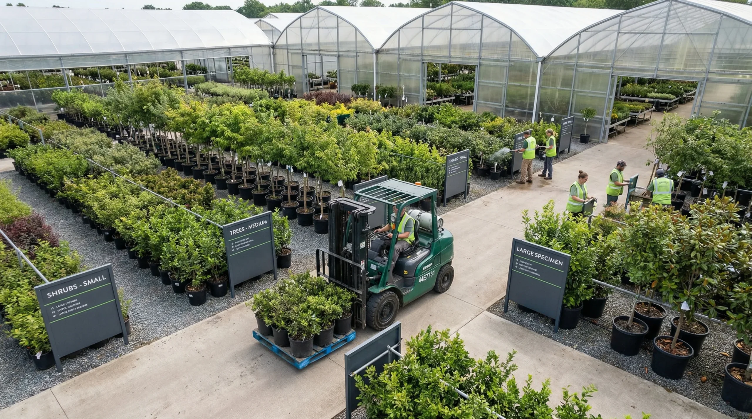
Essential Guide to Nursery Inventory Management Software
Discover the benefits of nursery inventory management software to streamline operations and boost productivity.
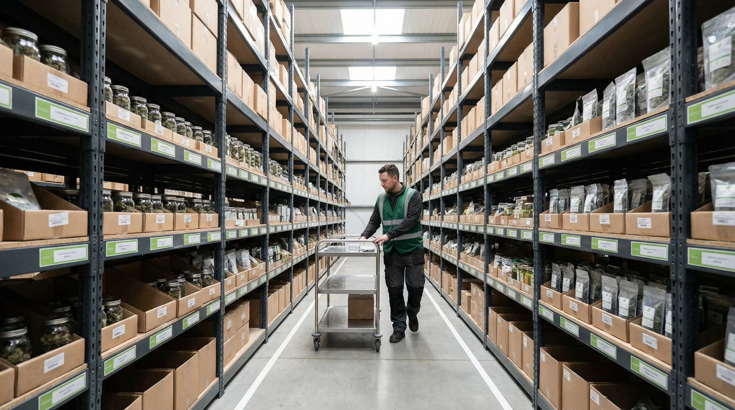
Essential Cannabis Warehouse Management Strategies
Discover effective cannabis warehouse management with key inventory strategies and software solutions. Optimize your operations today!

Third-Party Logistics Services: Your Complete Guide
Discover how 3PL services can transform your logistics strategy. Learn about warehouse and logistics services, top companies, and future trends.